06 December 2023
![]() 2 mins Read
2 mins Read

There’s nothing worse than running short on time in the airport and having no idea where – or how far away – your gate is. Well, in an Australian-first, Google Maps has launched Indoor Live View at both the domestic and international terminals of Sydney Airport, just in time for the Christmas travel rush.
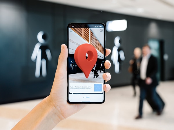
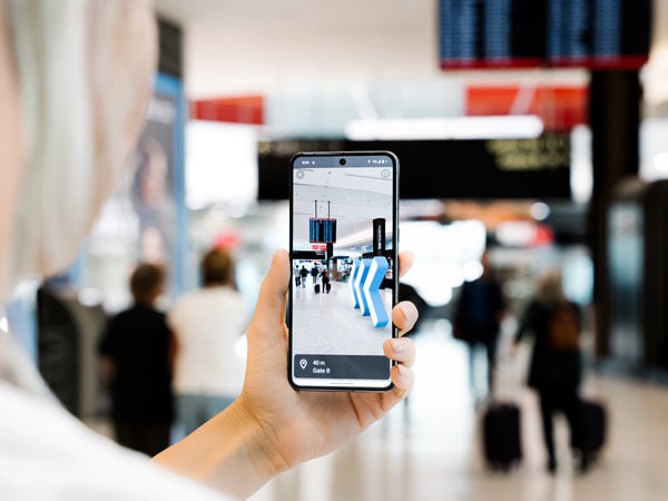
Indoor Live View is an augmented reality feature on Google Maps showing arrows, directions and distance markers to guide travellers to gates, airport lounges, baggage claim, check-in counters, shops, restaurants, bathrooms, ATMs and more.
For accessible routes select ‘wheelchair accessible’ to find wheelchair, pram and suitcase-friendly paths. There are also audio navigation prompts and visual cues if needed.
Sydney Airport senior manager business systems Belinda Scanlon says this is a win for passengers.
“Whether travellers are looking for their gate, a bathroom or even a place to grab a bite to eat, they now have the directions they need at their fingertips,” she says.
“This is an especially great tool for travellers facing language barriers and accessibility needs, as it will help them navigate the airport more independently.”

Indoor Live View is an especially great tool for travellers facing language barriers and accessibility needs.
If you’re looking for general airport amenities like gates and restrooms, just enter ‘Sydney Airport’ into the Google Maps search bar and click on the ‘Directory’ button to access the categories. Then click ‘Live View’ for real-time navigation.
If you’re looking for specific destinations within the airport, enter the destination in the search bar, select walking mode, and tap the ‘Live View’ button.
Google Maps Australia group product manager Anthony Bertuca says this is a game-changer for people visiting Sydney Airport.
“It’s powered by a technology called global localisation, which uses AI to scan tens of billions of Indoor Street View images to understand your orientation and provide assistance in real-time,” he said.

Never get lost looking for your gate again.
LEAVE YOUR COMMENT